
Keyword
Ship: Challenger
5 record(s)
Type of resources
Topics
Keywords
Contact for the resource
Provided by
Formats
Representation types
Update frequencies
Status
draft
-
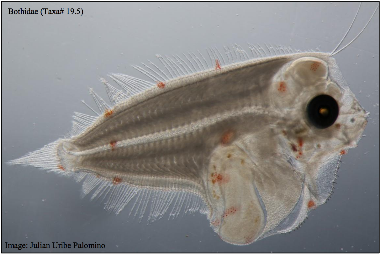
This dataset contains the ichthyoplankton data from three National Reference Stations on the east coast of Australia (North Stradbroke Island, Port Hacking, and Maria Island), and comparable historical data from eight ichthyoplankton surveys that were used to provide a longer term context: RV Sprightly (1983) RV Challenger (1989-1991) RV Franklin (1994) RV Franklin (1997-1998) RV Franklin (1998-1999) RV Southern Surveyor (2004) RV Investigator (2015) FRV Kapala (1989-1993) Refer to the published report which had the following goals: - To evaluate the value of long-term monitoring of ichthyoplankton at selected locations in the Integrated Marine Observing System (IMOS) National Reference Station (NRS) network, - To identify the potential of this monitoring for providing fishery-independent information relevant for marine fishes and their management. Note - Currently only the data from the IMOS NRS Stations have been made available.
-
This record contains data collected on the charter vessel FV Challenger between 21 and 30 May 2007 from Tasmanian coastal waters. The data can be used for Ocean Colour sensor validation. Parameters measured are the concentration of chlorophyll and carotenoid pigments and retrieved chlorophyll a estimate, the absorption coefficient for dissolved (CDOM) particulate (ap) and detrital or non-algal (ad) components of the water column; 28 stations were sampled. The data was used primarily to validate ocean colour sensors MERIS, MODIS and SeaWIFs. Samples were collected and analysed for pigments, total suspended solids (TSS) and absorption coefficient, dissolved and particulate. CLW deployed instruments RAMSES, ac-9, Hydroscat and Hydrorad.
-
This record contains catch and effort data from scientific bottom trawl surveys carried out along the coast of South East Australia between 1898 and 1996. The data is on demersal chondrichthyes and osteichthyes. Data used was from multiple research vessels form various agencies and historical archives, The vessels included Soela, Courageous, Kapala, Zeehan, Challenger, Mary Belle, Bluefin, Petuna Endeavour, Margaret Philippa, Dannevig and Endeavour. Please refer to documentation link for further information.
-
Benthic Habitats Video Image Archive is an on-line repository of .avi files and still images (.jpg or .tiff) collected during a series of surveys by MNF and other vessels. The associated BHIMAGE Oracle data base records associated geo-location data and image annotations. Image data (video and stills) in this collection are from deep continental shelf and upper slope benthic habitats. Image collection was enabled by the development of deep towed video systems since the late 1990's (Bax & Williams 1999; Shortis et al. 2008). An evolving but nonetheless standardized annotation methodology annotation physical structures (substrate and geomorphology) and biota has been used for surveys since 2000 (Kloser et al 2004). The data-base retains annotations in the original scoring schemes and translations between schemes including to the CATAMI classification scheme are documented. Video and still-image data can be accessed via the AODN Portal (refer to link below), select "Observation Data", then "CSIRO Oceans and Atmosphere", click on the "CMAR Instruments" and lastly: "CMAR Video Tows - all voyages", the image below illustrates how to reach this dataset. Note that this is subject to change when the CMAR tag is replaced by the new O&A.
-
This is the CSIRO portion of the collaborative Tasmanian Aquaculture and Fisheries Institute, University of Tasmania (TAFI)/CSIRO Marine Research Project titled 'Understanding Shelf-break Habitat for Sustainable Management of Fisheries with Spatial Overlap', which aimed to map and understand shelf-break seabed habitats (~150-350m depths) around Tasmania, Australia, which is an area of interaction between two fishery sectors, giant crab trappers and finfish trawlers. Both of these have been expanding over the past decade, with potential of impact to target species abundance, habitat structure, and ecosystem structure. This project aimed to research the habitat effects of these activities over the period 2003-2005 through sampling of fished and unfished areas using video transects, multi-beam acoustic swath mapping, and collection of physical samples using sediment grabs and benthic sleds, using chartered vessels and a voyage of the National Facility FRV Southern Surveyor in 2004. Specific objectives for the giant crab (Pseudocarcinas gigas) habitat survey are as follows: - define and map giant crab habitat on the shelf edge, at several key locations off the Tasmanian east and west coasts; - detail distribution of giant crabs in relation to habitat features; - evaluate ecosystem links between habitats; - evaluate the vulnerability of habitat to damage by fishing (trawls and pots); and - evaluate the ability to obtain fishery independent information by video on the abundance, sex ratio, condition and size of giant crabs. The CSIRO portion of the work comprised a series of four surveys to assess the seabed habitats of the giant crab at the edge of the continental shelf around Tasmania. The image annotations collected for this project have been added to the Oracle data base BHIMAGE and the associated videos and still images have been archived as described in MarLIN record 14436 'Benthic Habitats Video Image Archive'.